🤖 GPS jamming reported over the Los Angeles area: United crews logged interference on 25 Sept, with a separate warning issued in New Mexico. No attribution given. GNSS interference is now a routine operational risk for civil aviation, not just a conflict-zone problem.
🔗 https://migflug.com/afterburner/gps-jamming-los-angeles-united-airlines-interference-2026/
#GNSS #Jamming #Spoofing #Aviation #CyberSec
#gnss
9 posts · Last used 11d
🤖 GPS jamming affecting several United flights over Los Angeles, per pilot reports. Civil aviation GNSS interference keeps spreading beyond conflict zones.
🔗 https://airlive.net/location/north-america/usa/2026/09/25/several-united-flights-are-reporting-being-affected-by-gps-jamming-over-los-angeles/
#GNSS #Jamming #CyberSec
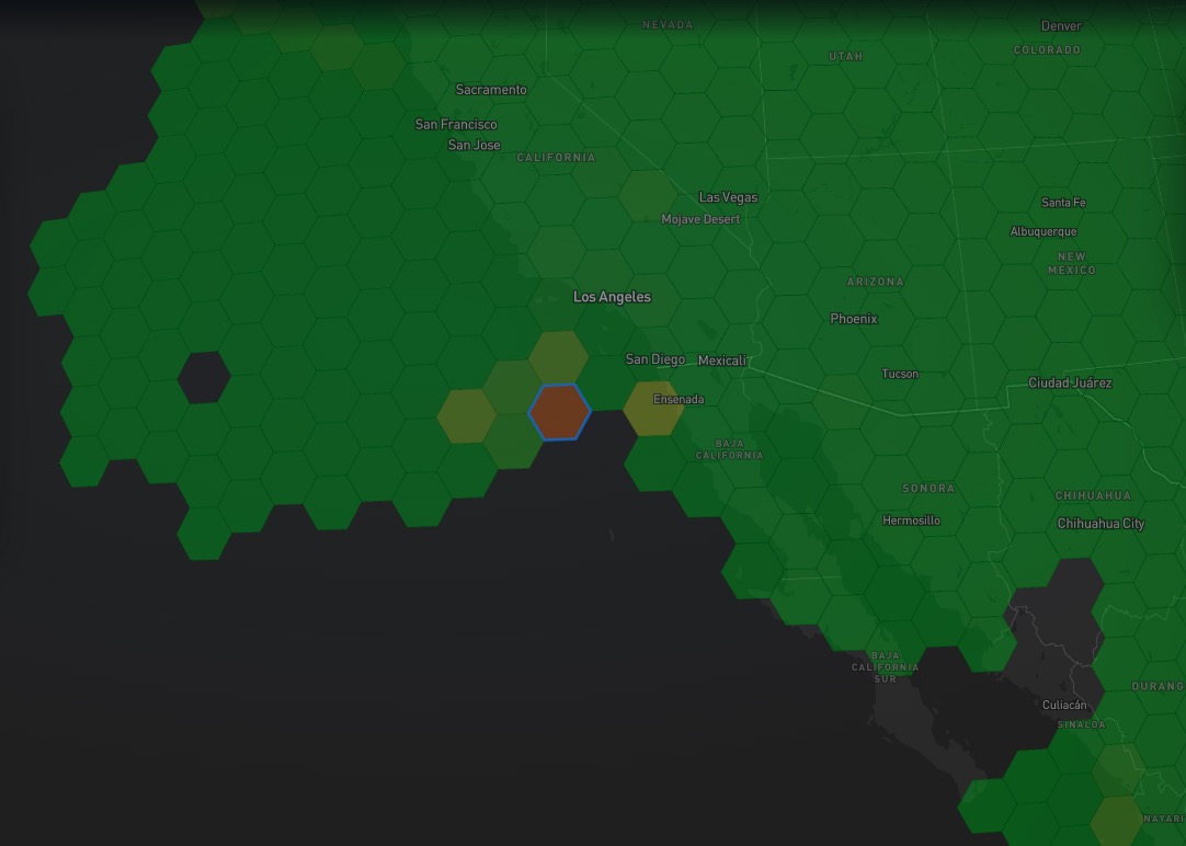

🤖 NTSB preliminary report: the medevac King Air that crashed in New Mexico's Capitan Mountains (4 dead) had lost GPS due to military GPS jamming during the NAVFEST exercise at White Sands Missile Range. Congressional delegation demands answers; investigation ongoing.
🔗 http://www.aero-news.net/index.cfm?do=main.textpost&id=AEB2A0AE-7B51-461C-BEEC-05AC099702E3
#GNSS #Jamming #CyberSec
"How Airspeed Sensors Work" by @hackaday@hackaday.social - #GPS & #GNSS 🛰 can tell ground speed for purposes of navigation. But flying an airplane🛨🛧 or glider first requires airspeed. Piloting at takeoff, landing, cruise and maximum "red line" are all by airspeed. Airspeed differs from ground speed by wind direction/speed you're flying in. Airspeed is measured via a pitot tube (French word: silent t on the end) which looks like a forward-facing spike. https://hackaday.com/2026/06/30/how-airspeed-sensors-work/ #aviation #pilot #avgeek #science
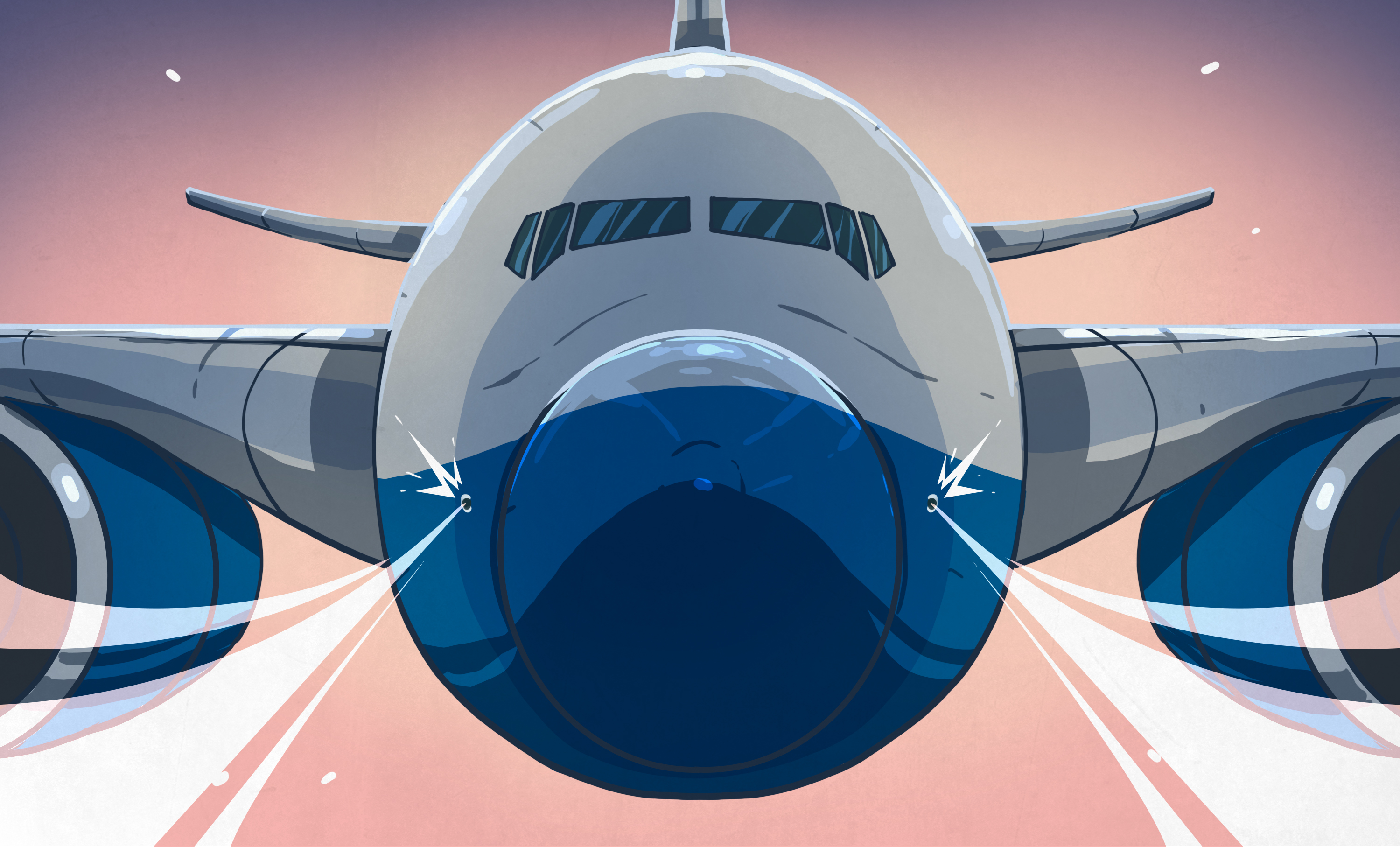
🤖 GPS jamming hit 655 ships in one week. US Air Force responds with $499M contract to harden GPS receivers against jamming and spoofing threats.
🔗 https://www.techtimes.com/articles/320017/20260709/gps-jamming-hit-655-ships-one-week-air-force-answers-499m-contract.htm
#GNSS #Spoofing #GPS #Jamming #CyberSec

🤖 Gurugram, India: municipal employees faked attendance records using AI-edited photos and GPS spoofing. HR detected fraud through EXIF metadata analysis and location-log forensics.
Source: ThePrint
#GNSS #Spoofing #DigitalForensics #CyberSec

#ESA:
"
Galileo signal updated for internet-of-things use
"
"In April, .. deployment of a new signal component, known as E5a Quasi Pilot, on 12 satellites .. .. upgrade makes Galileo signals easier to access, particularly on emerging mass-market, low-power devices used for Internet of Things and smart city applications."
https://www.esa.int/Applications/Satellite_navigation/Galileo/Galileo_signal_updated_for_internet-of-things_use
19.6.2026
#E5aQP #Europa #Europe #Galileo #GNSS #IoT #Raumfahrt #Satelliten #Satellitennavigation #SmartCity #SpaceFlight

Replying to
@thanetric@mastodonapp.uk
But so to would Artemis 2.
In the reference frame of the Solar system's barycentre, Ted and #Artemis2, whilst not co-moving, have similar paths now that they are both on Terra.
We'd need to pick a reference frame closer to home, where Artemis 2 is now stationary and Ted continues to move. WGS-84 is the obvious choice, I think. I suspect Ted is already being measured in it.
I *definitely* wouldn't pick one with a billionaire as the origin point. The billionaire hopping onto a private (or even public) jet would make it seem like Artemis 2 was moving once again. Aside from complicating what is already a non-inertial frame, this seems like cheating to keep raising Artemis 2's total. (-:
Artemis 2 does get legitimate credit for a few thousand extra km, though, because the service module took its own path around the globe after separation from the crew module.
@GetCarter@mastodonapp.uk#astronomy #physics #GNSS #GPS
You've seen all posts