Taiwan Maps and Dataviz
Exploring Taiwan through stories, maps, and data visualizations.
Open to collaborations with creators and educators.
Reporting from Taipei.
Taiwan redrawn by its rivers.
Orange rivers flow west into the Taiwan Strait, while green rivers run east toward the Pacific. Together, they trace the island’s central water divide, shaped by Taiwan’s rugged mountain spine.
This map also has a personal note: it was the very first one I created and the starting point for Eyes on Taiwan and Taiwan Maps & Dataviz.
Here is your Friday fun fact: if you follow the same latitude east or west from Taiwan, you will reach the coastlines of the regions shown on this map. What surprised me most is that southern Taiwan aligns with both Hong Kong and Hawaii.
#GeographyFacts #MapLovers #DidYouKnow #PacificRegion #TravelGeography
Summer is slowly returning to Taiwan.
This map is a small reminder of what that actually feels like.
And if you think it’s already hot, summer hasn’t even properly started yet.
#Taiwan #SummerWeather #HeatAndHumidity #TravelAsia #weatherfacts
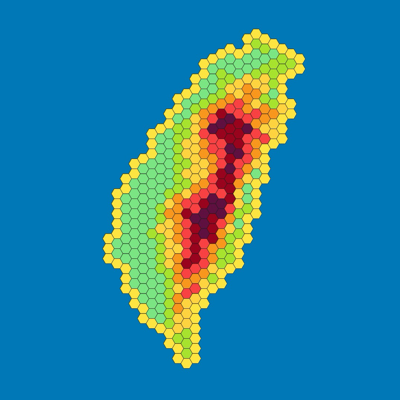
More than 23 million people live in Taiwan, but the population is far from evenly distributed.
In fact, about half of the population is concentrated in just a small number of districts, mainly in major urban areas.
#Taiwan #UrbanGeography #PopulationDensity #DataVisualization #maps
Here is your Friday Fun Fact:
Taipei is closer to Japan than to Kaohsiung in southern Taiwan.
Japan’s Yonaguni Island is about 160 km away from Taipei, while Kaohsiung is about 290 km away.