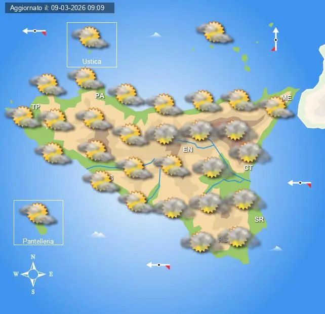
Sicilianews24.it: Meteo del 21 settembre 2026: previsioni regione per regione in Italia
Il 21 settembre 2026, lunedì, sarà caratterizzato da un quadro meteorologico ancora piuttosto differenziato tra Nord, Centro e Sud Italia. Al Centro-Nord prevarranno condizioni generalmente stabili, con ampie schiarite alternate a qualche annuvolamento, soprattutto sulle aree alpine e appenniniche. Al Sud e sulle Isole, invece, resterà maggiore instabilità, con possibilità di rovesci e temporali sparsi, più probabili nelle ore pomeridiane e soprattutto tra Sicilia, Calabria, Basilicata e Puglia. Le temperature resteranno miti, con valori ancora superiori alla media del periodo soprattutto al Mezzogiorno. Il quadro di tendenza di MeteoAM per la settimana 21-27 settembre indica infatti correnti umide sud-occidentali sulle regioni meridionali, associate a precipitazioni superiori alla media, mentre sul resto d’Italia prevarranno correnti nord-occidentali più asciutte e temperature in linea con il periodo.
Le indicazioni regionali e i valori termici sotto riportati rappresentano una ricostruzione editoriale coerente con il quadro previsionale disponibile e potranno essere soggetti a ulteriori aggiornamenti.
Valle d’Aosta
Il 21 settembre in Valle d’Aosta sarà una giornata nel complesso stabile. Il cielo si presenterà sereno o poco nuvoloso, con qualche annuvolamento sui rilievi nel corso della giornata. Non sono attese precipitazioni significative. Le temperature saranno miti durante le ore centrali, mentre il primo mattino resterà fresco nelle vallate. Venti generalmente deboli, con qualche rinforzo sui crinali.
Minime e massime: Aosta 13°C / 24°C.
Piemonte
In Piemonte il tempo sarà prevalentemente stabile e asciutto. Sulle pianure il cielo sarà poco nuvoloso, con qualche passaggio nuvoloso più consistente sulle zone alpine e prealpine. Non sono previste precipitazioni significative. Temperature gradevoli, con massime comprese generalmente tra 24 e 27°C. Venti deboli o localmente moderati.
Minime e massime: Torino 15°C / 26°C, Novara 14°C / 25°C, Cuneo 13°C / 24°C, Alessandria 14°C / 26°C.
L'articolo Meteo del 21 settembre 2026: previsioni regione per regione in Italia sembra essere il primo su Sicilianews24.it.
Weather forecast for September 21, 2026: regional forecasts across Italy
On September 21, 2026, Monday, the weather will be characterized by a still quite differentiated picture between Northern, Central and Southern Italy. In the Center-North, generally stable conditions will prevail, with wide clear spells alternating with some cloudiness, especially in the alpine and Apennine areas. In the South and on the Islands, instability will remain greater, with possibilities of scattered showers and thunderstorms, more probable in the afternoon hours and especially in Sicily, Calabria, Basilicata and Puglia. Temperatures will remain mild, with values still above average for the period, particularly in the South. The MeteoAM trend forecast for the week of September 21-27 indicates southwesterly humid currents over the southern regions, associated with precipitation above average, while in the rest of Italy, drier northwesterly currents and temperatures in line with the period will prevail.
Regional indications and the following thermal values represent a consistent editorial reconstruction in accordance with the available forecast picture and may be subject to further updates.
Valle d’Aosta (Aosta Valley)
On September 21st in Aosta Valley, it will be a generally stable day. The sky will be mostly clear or slightly cloudy, with some cloudiness on the ridges during the day. No significant precipitation is expected. Temperatures will be mild during the central hours, while it will remain cool in the valleys in the early morning. Weak winds generally, with occasional strengthening on the crests.
Minimum and maximum: Aosta 13°C / 24°C.
Piemonte (Piedmont)
In Piedmont, the weather will be mainly stable and dry. On the plains, the sky will be slightly cloudy, with some more consistent passage of clouds in the alpine and prealpine areas. No significant precipitation is expected. Pleasant temperatures, with maximums generally between 24 and 27°C. Weak or locally moderate winds.
Minimum and maximum: Turin 15°C / 26°C, Novara 14°C / 25°C, Cuneo 13°C / 24°C, Alessandria 14°C / 26°C.
#Italy #Northern #SouthernItaly #Apennine #South #Sicily #Calabria #Basilicata #Puglia #Valled’Aosta #AostaValley #Aosta #Piedmont #Turin #Novara #Cuneohttps://www.sicilianews24.it/meteo-del-21-settembre-2026-previsioni-regione-per-regione-in-italia-842609.html